
Most Popular Products


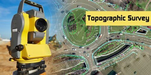
Topographical Survey Service Provider
Product Details:
- Click to View more
-
Share Your Product:


X
Topographical Survey Service Provider Price And Quantity
- 1 Unit
Product Description
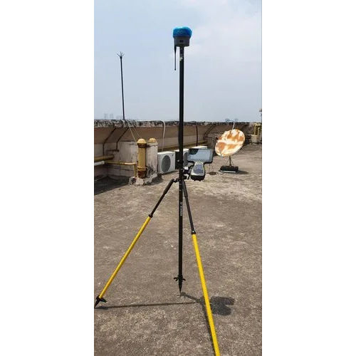
A topographical survey service provider specializes in mapping and documenting the physical features and terrain of a specific area of land. Their services typically include the use of advanced surveying equipment and technologies, such as GPS and total stations, to capture precise data on the land's contours, elevations, and natural or man-made features. This information is then used to create detailed maps, 3D models, and plans that are essential for construction, civil engineering, land development, and environmental planning projects. The provider ensures accuracy and compliance with relevant regulations, helping clients make informed decisions about land use and development.Tell us about your requirement

Price:
Quantity
Select Unit
- 50
- 100
- 200
- 250
- 500
- 1000+
Additional detail
+91
Email

Other Products in 'Global Positioning System' category

Quick Inquiry


Contact Details
AISTECH GLOBAL PRIVATE LIMITED
GST : 19AATCA7893D1ZZ
GST : 19AATCA7893D1ZZ
313/7, Nabapally, Sector- 4, Salt Lake, Kolkata - 700105, West Bengal, India
Phone :07971549274

 |
AISTECH GLOBAL PRIVATE LIMITED
All Rights Reserved.(Terms of Use) Developed and Managed by Infocom Network Private Limited. |
